















.avif)




Kentucky’s coverage problem is shaped by terrain more than distance.
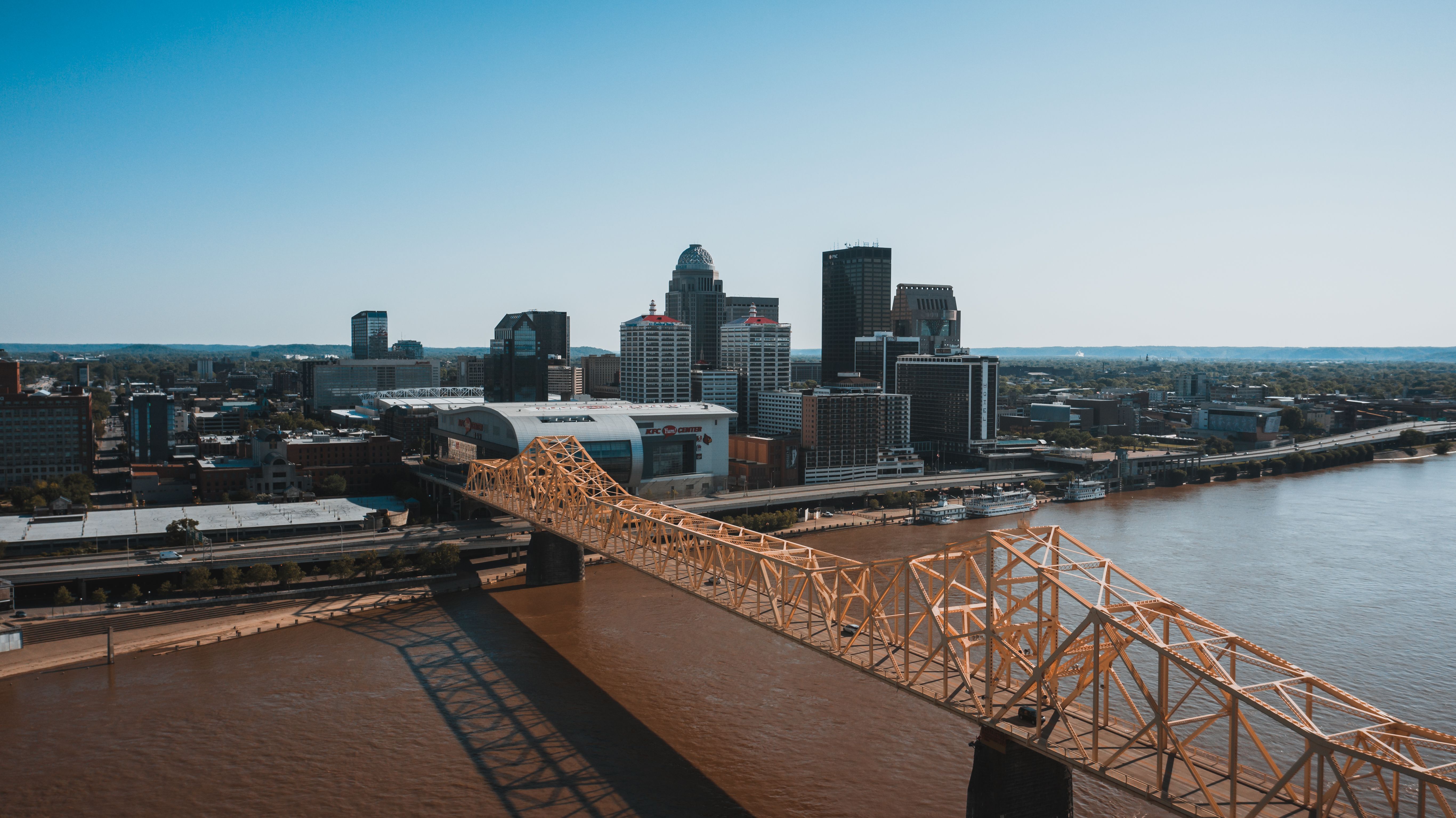
In the Bluegrass and around Louisville, the map behaves normally — sites are close together, physicians can cover more than one, and a contrast study is a scheduling question. East of the Cumberland Plateau the map stops being useful. Communities sit in valleys connected by two-lane roads that follow the creeks rather than the compass, and forty miles between two facilities can mean an hour and a half each way.
That makes shared on-site coverage impractical in exactly the region that most needs it. A supervising physician contracted to cover two eastern Kentucky sites often can’t be immediately available at either in any meaningful sense, and winter weather in the mountains removes what flexibility remains.
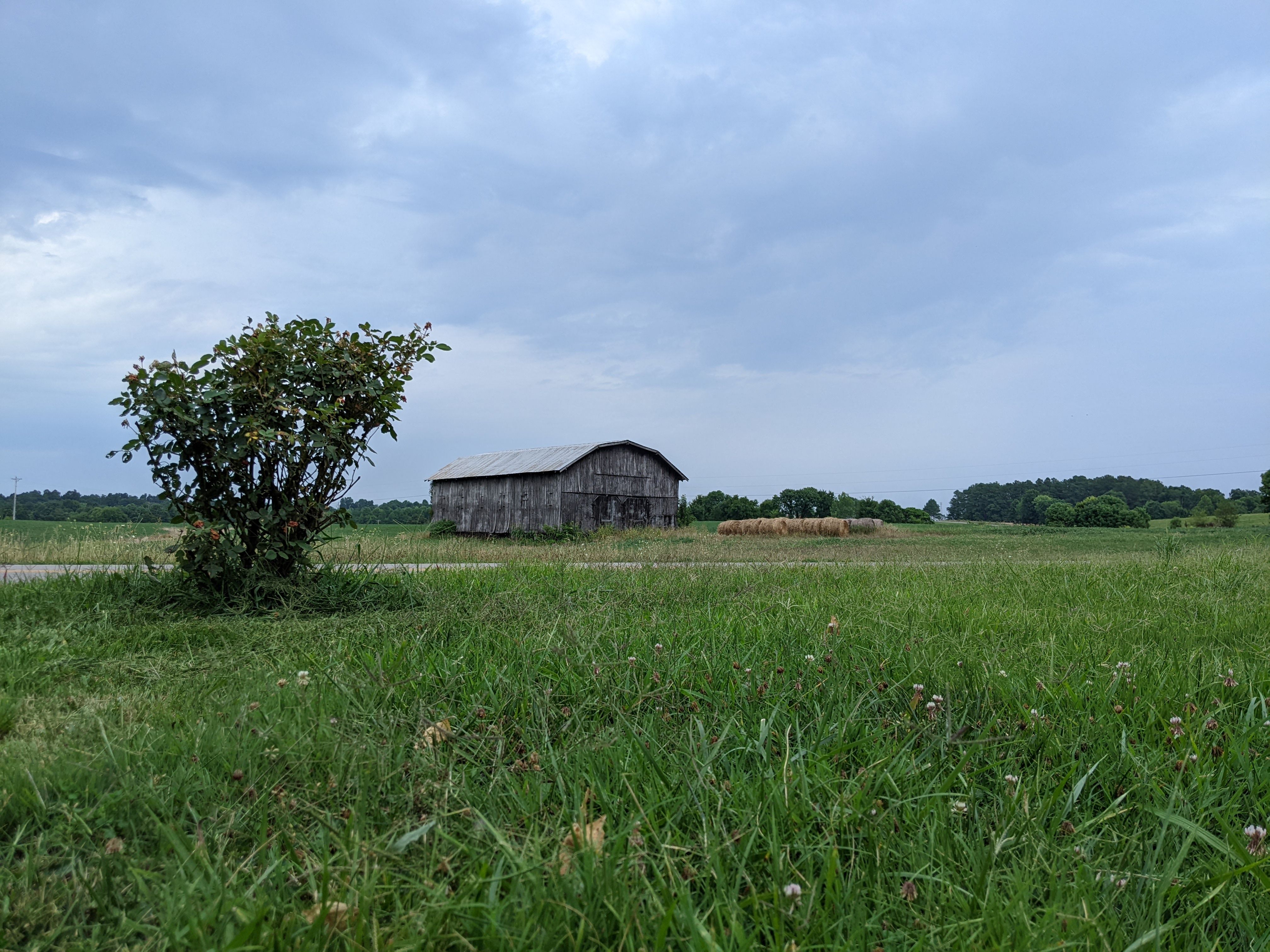
Western Kentucky has a milder version of the same thing — long distances between smaller towns, and hospitals with contrast volume too low to support a dedicated physician.
Virtual contrast supervision removes the road from the equation. The supervising physician is immediately available over a real-time connection regardless of what’s between the sites.
ContrastConnect covers imaging centers across the Bluegrass, the Louisville metro, Western Kentucky, Eastern Kentucky, and Northern Kentucky — including Louisville, Lexington, Bowling Green, Owensboro, Covington, Richmond, Georgetown, Florence, Hopkinsville, Elizabethtown, Paducah, and Ashland.