















.avif)




Washington’s imaging map is split by the Cascades, and the two halves barely resemble each other.
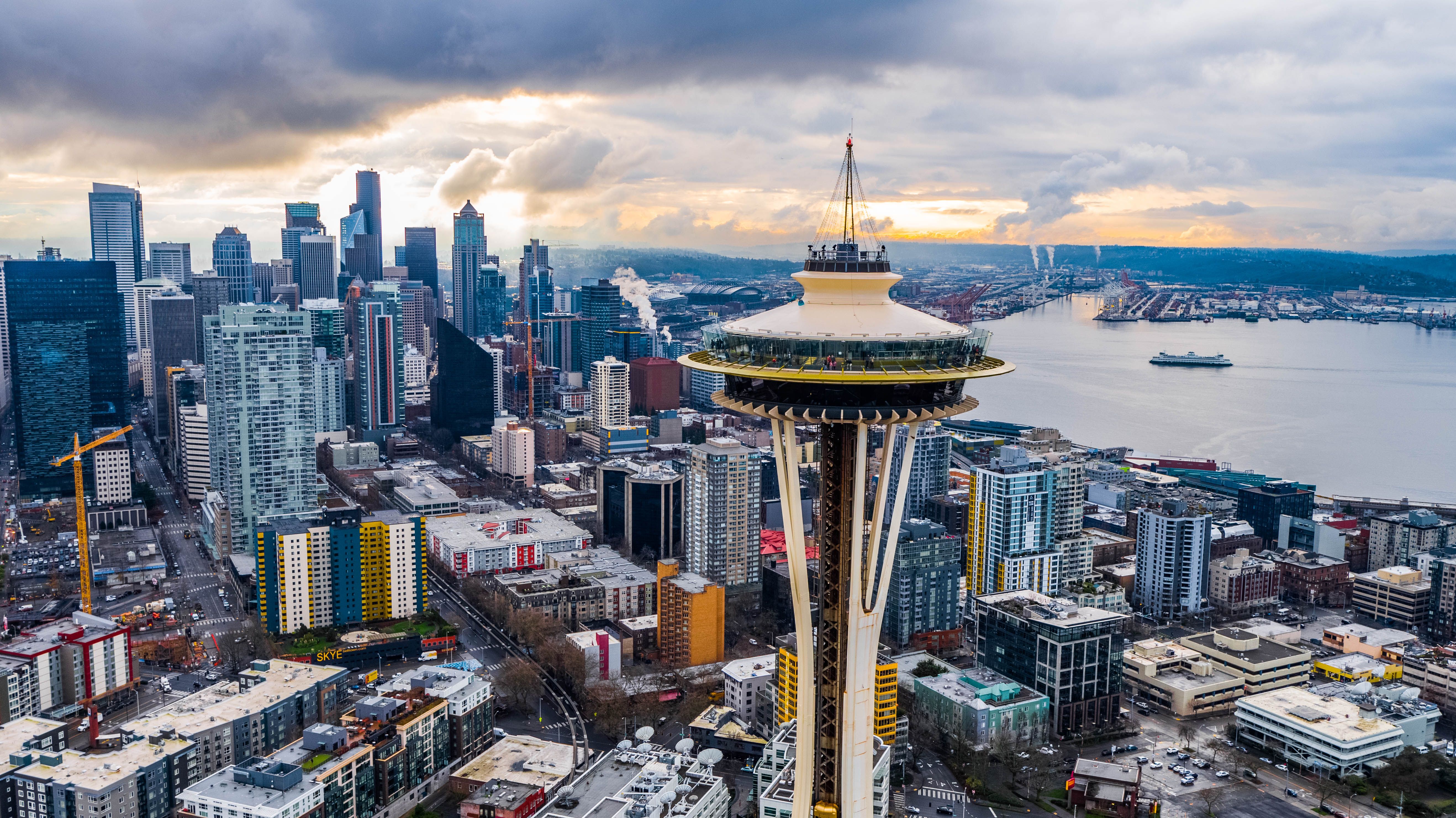
West of the crest, the Puget Sound corridor holds most of the population, the academic systems, and the physician supply. Seattle, Tacoma, Everett, and Bellevue centers compete on salary, but they compete in a market that has candidates.
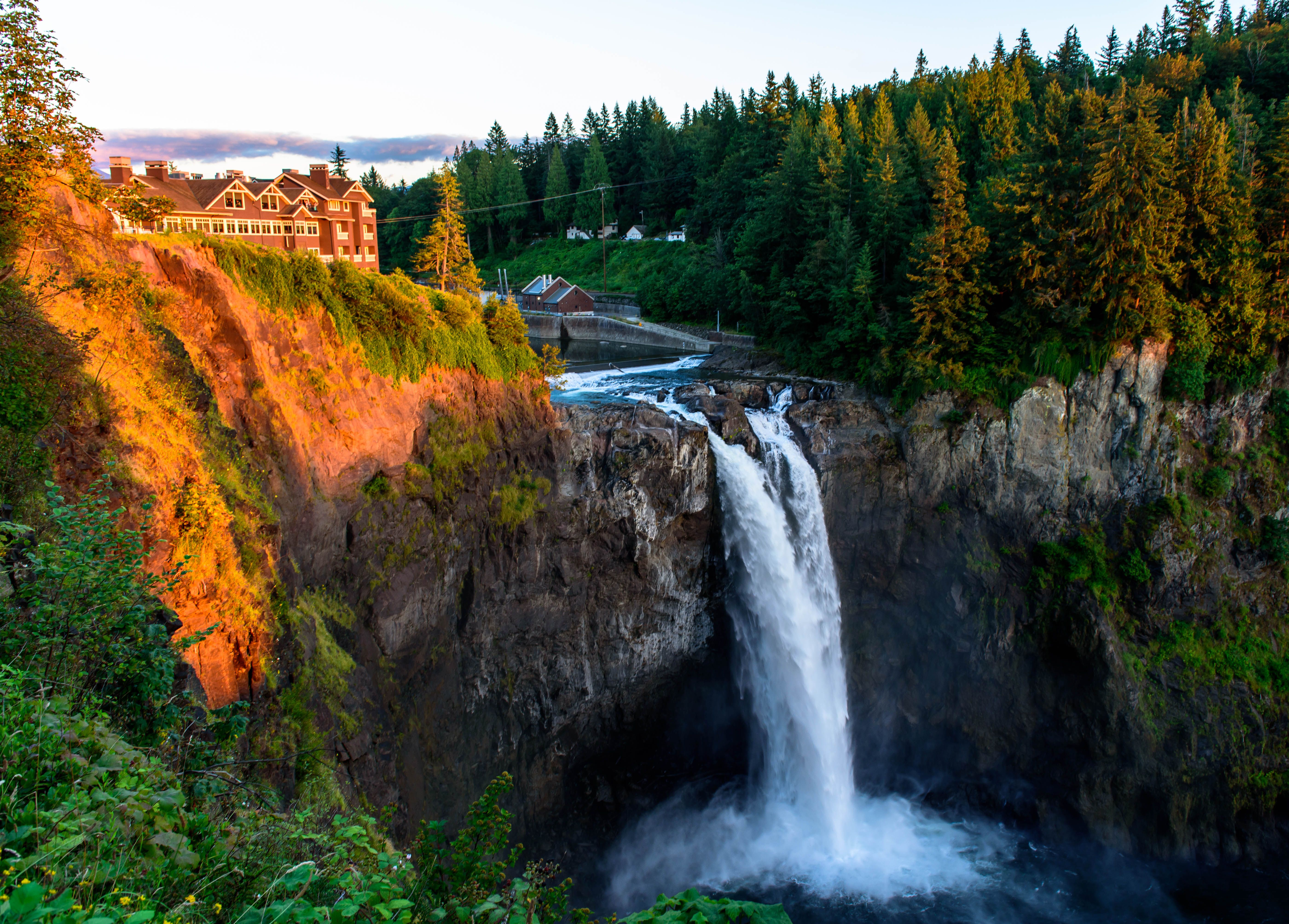
East of the crest is a different state. Spokane anchors it, but the Columbia Basin, the Okanogan, the Palouse, and the smaller agricultural communities across Eastern Washington are served by facilities with genuinely thin staffing and long distances between them. The mountain passes make cross-state coverage arrangements unreliable for part of the year, which means an eastern Washington site can’t borrow depth from the western half even in principle.
The Olympic Peninsula has its own version — close to Seattle on a map, considerably further in practice.
Washington’s legislature addressed virtual supervision directly with HB 2113, which gives centers on both sides of the range a clearer footing for a model that doesn’t depend on the passes being open.
ContrastConnect covers imaging centers across Puget Sound, Eastern Washington, the Tri-Cities, the Olympic Peninsula, the Columbia Basin, and Southwest Washington — including Seattle, Spokane, Tacoma, Vancouver, Bellevue, Kent, Everett, Renton, Yakima, Bellingham, Kennewick, Olympia, Walla Walla, and Wenatchee.